
MAS-Preprocessing - Visibility graph
This page is part of the Multi Agent System (MAS) documentation. It contains a documentation about the preprocessing tool for Multi Agent System.
For an overview of all MAS-related pages, see the MAS main page.
Prior to a simulation using the MAS navigation information for the agents MUST be preprocessed.
The result is a visibility graph that agents can use to find their way around obstacles toward their target.
Creating the visibility graph
A tool separate from PALM (Agent Preprocessing Tool for PALM - APT-P) has been developed to calculate the visibility graph.
It is a standalone Fortran program (find it here or at trunk/UTIL/agent_preprocessing/agent_preprocessing.f90 in your local PALM installation).
To use it,
1) navigate to the INPUT-folder of your JOB.
2) Make sure your Input folder contains the relevant topography information in either an ASCII- or NetCDF-file (see here).
3) Make sure your Input folder contains the _p3d-file. In it, if necessary, specify the namelist &prepro_par with the parameters flag_2d, internal_buildings and tolerance_dp.
4) Execute the APT-P by typing
agent_preprocessing
This will create a file <job_identifier>_nav. This is a Fortran binary file that contains the polygon and visibility graph data and will be read by PALM during the simulation. As long as the area and resulution of the model domain do not change this file can be reused.
Concept
For agents to be able to find a path through an area containing obstacles (such as a city) some sort of graph is needed on which pathfinding can be performed. Such a graph consists of nodes that indicate physical locations and connections between these nodes annotated with a cost to travel between the two nodes.
The concept used here is called "visibility graph". It hinges on the idea that pedestrians use outer corners of obstacles to navigate. All spaces that pedestrians will not or cannot cross, such as buildings, trees, certain types of streets, etc are considered obstacles. The agent will walk toward the next visible corner on their way to their final target, make a turn, and walk toward the next corner. Thus, the nodes are the obstacle corners and a connection is established between two nodes if they are in view of each other and given the cost of the direct distance between the two.
To produce this data,
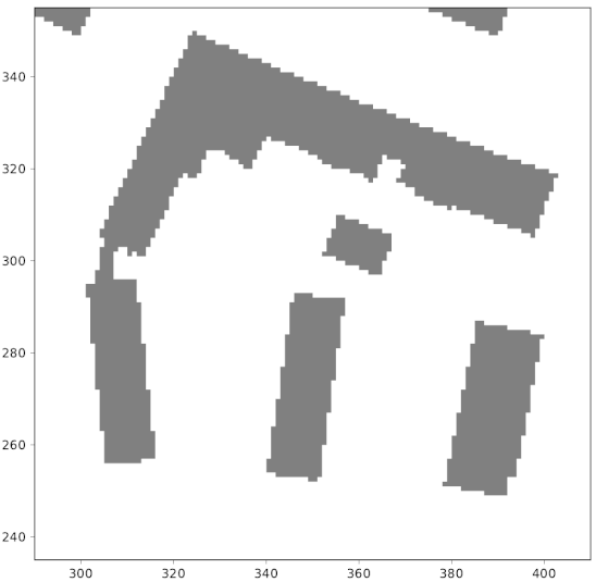
1) the PALM building topographhy is converted to polygons (one per obstacle) containing all convex and cocave corners as vertices.
2) The polygon data is simplified using the Douglas-Peucker algorithm (Hershberger and Snoeyink, 1994). To adjust the rate of simplification, see tolerance_dp.
| Douglas-Peucker algorithm | |
|---|---|
For polygon P = {p0,p1,...,pn}:
|
|

3) All remaining convex polygon vertices are added to the graph as nodes.
4) Connections are established between each pair of nodes that are visible by each other, if the direct connection does not point into either of the associated buildings. The associated cost is set to the direct distance.
5) The polygon and graph data is output to a Fortran binary file that can be read by PALM.
NAMELIST group name: prepro_par
| Parameter Name | FORTRAN Type | Default Value | Explanation |
|---|---|---|---|
flag_2d | L | .F. |
Flag to force usage of 2d-buildings. |
internal_buildings | L | .F. |
Flag to control usage of buildings within courtyards. |
tolerance_dp | R * 3 |
1.41, |
Tolerance for simplification of building polygons during preprocessing. |
References
- Hershberger, J., Snoeyink, J. 1994. An O(nlogn) implementation of the Douglas-Peucker algorithm for line simplification. SCG '94 Proceedings of the tenth annual symposium on Computational geometry. 383-384. doi
Attachments (1)
- poiker.gif (647.4 KB) - added by sward 8 years ago.
Download all attachments as: .zip